

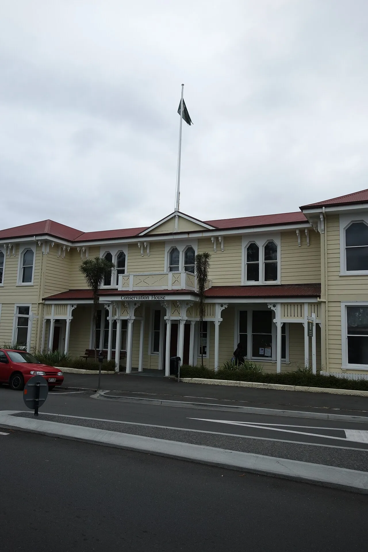
Ahuriri Estuary
1931
landscape
The earthquake of 1931 raised the inner harbour lagoon by up to two metres, converting deep water into tidal mudflats and fundamentally reshaping the ecology and geography of Napier's western edge. What had been a navigable anchorage became …
More in Napier
-
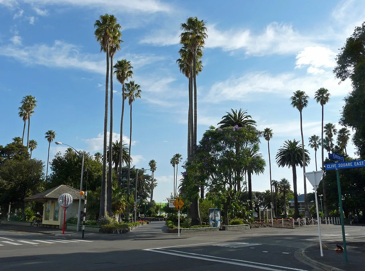
Clive Square
1933
-
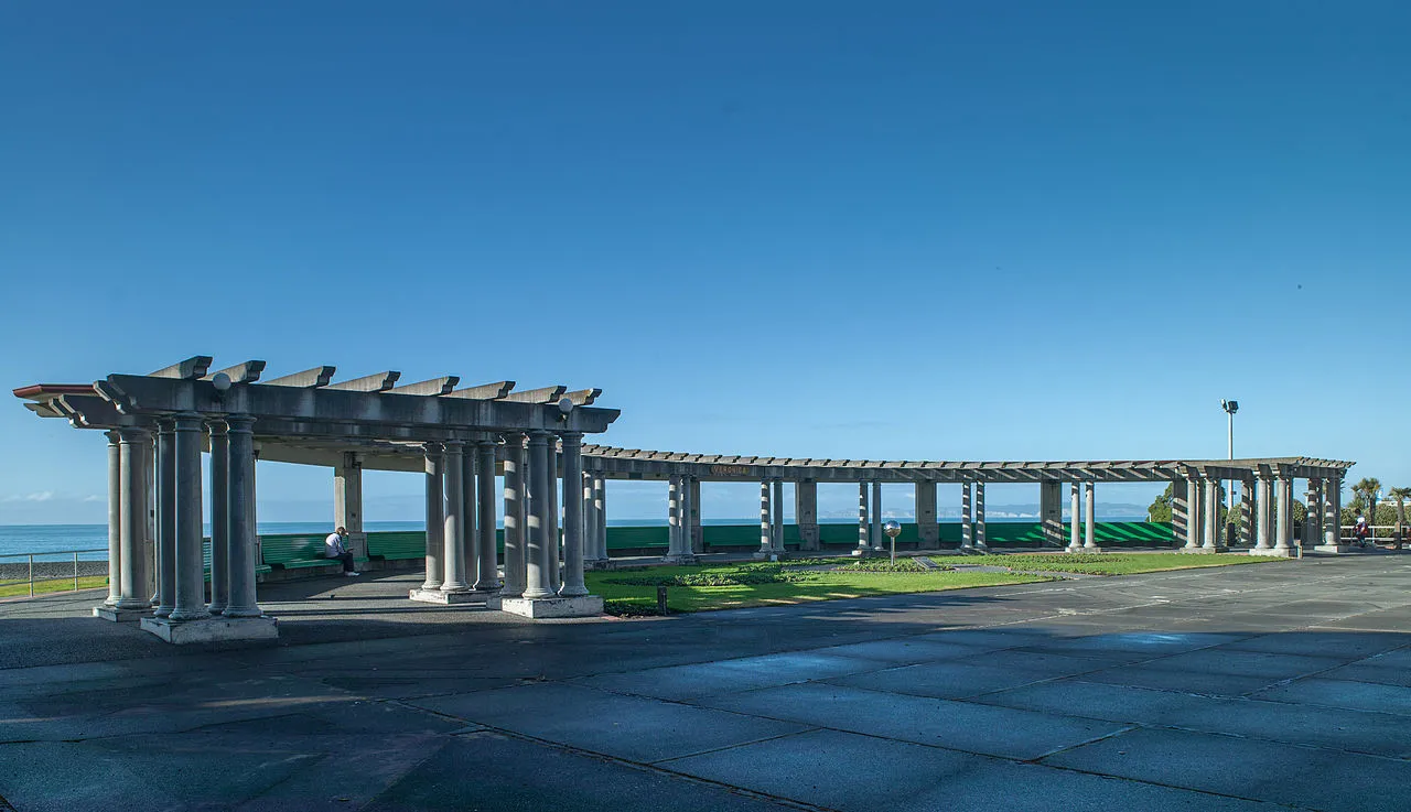
1931 Hawke's Bay Earthquake Memorial
1981
-
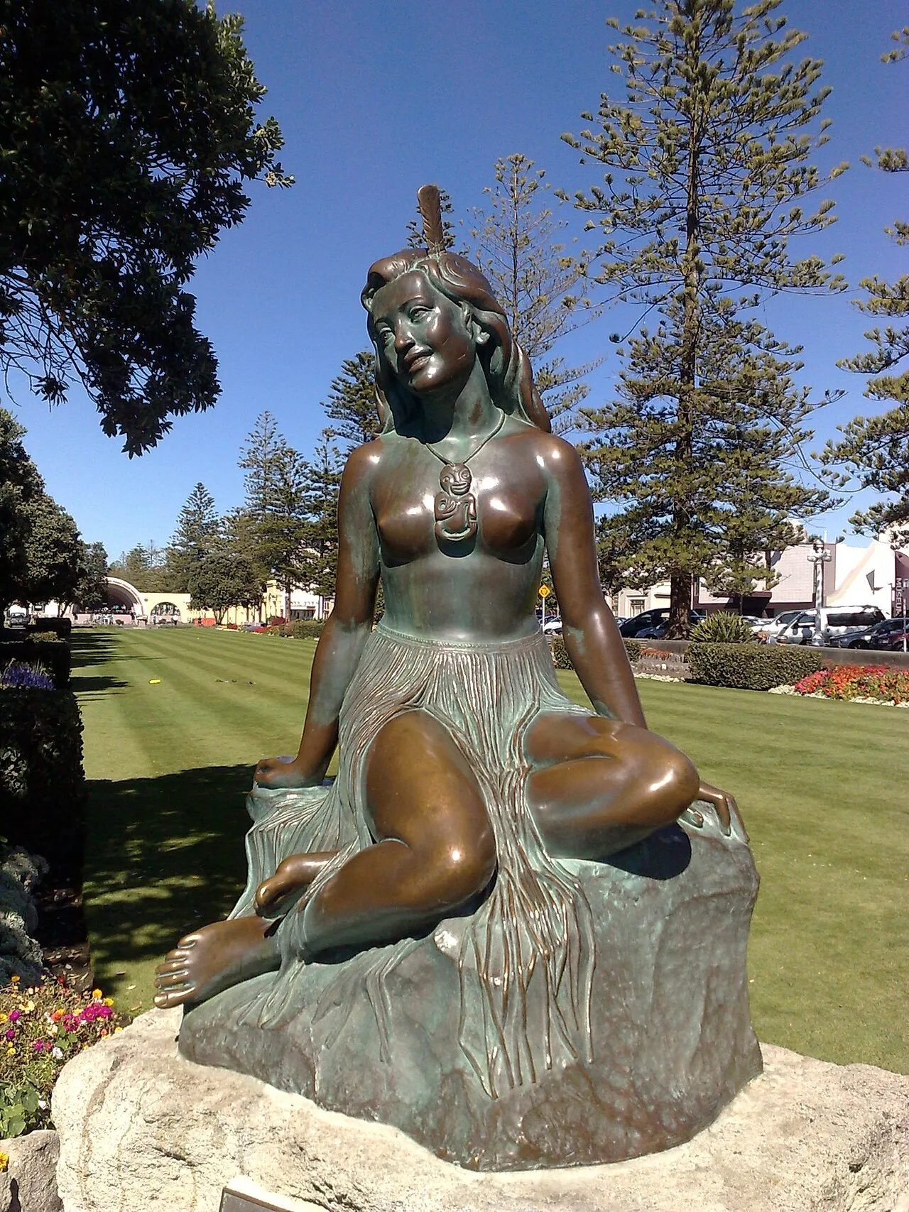
Pania of the Reef
1954 · Ria Bancroft
-
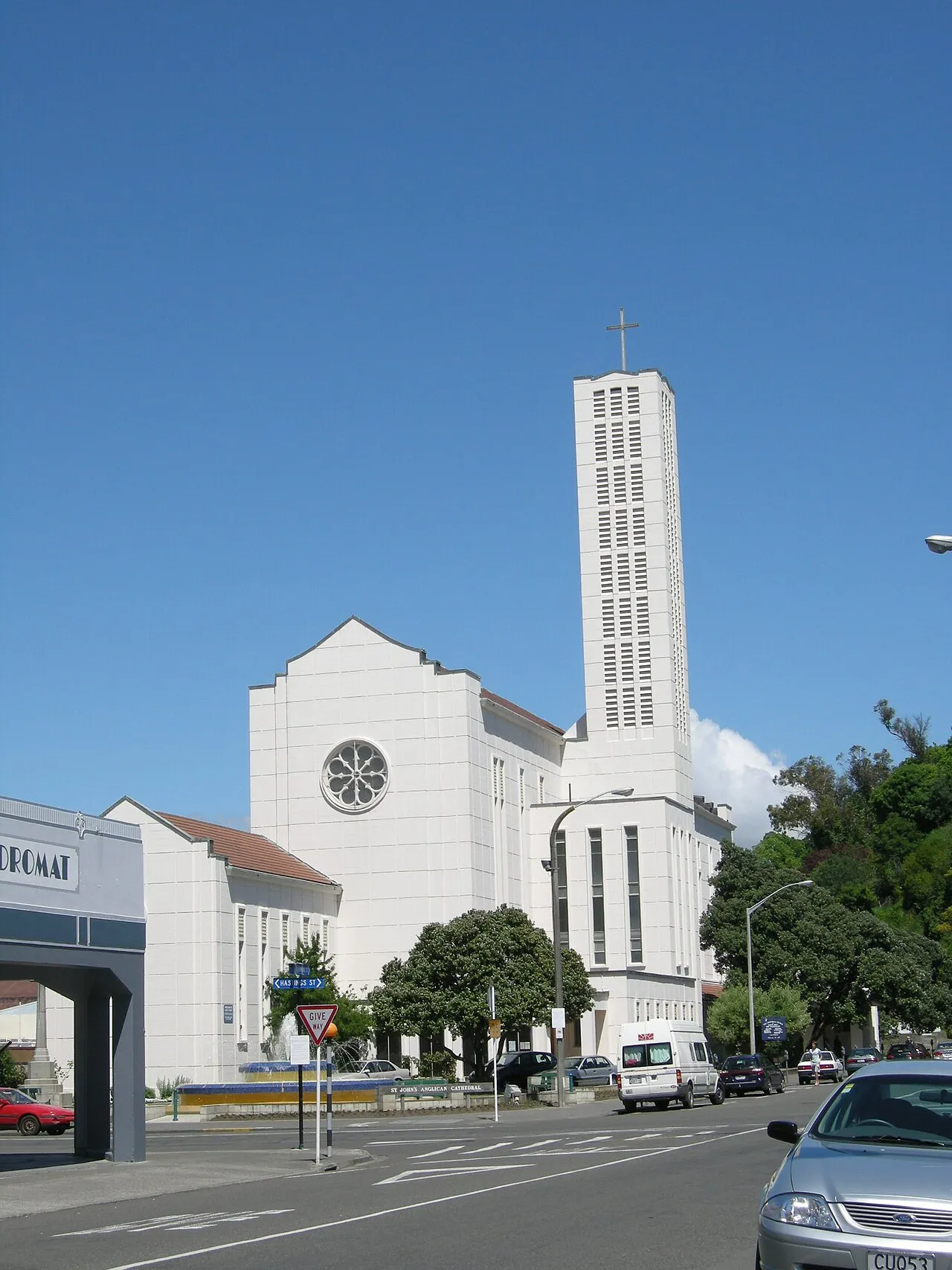
St John's Anglican Cathedral
1965
-
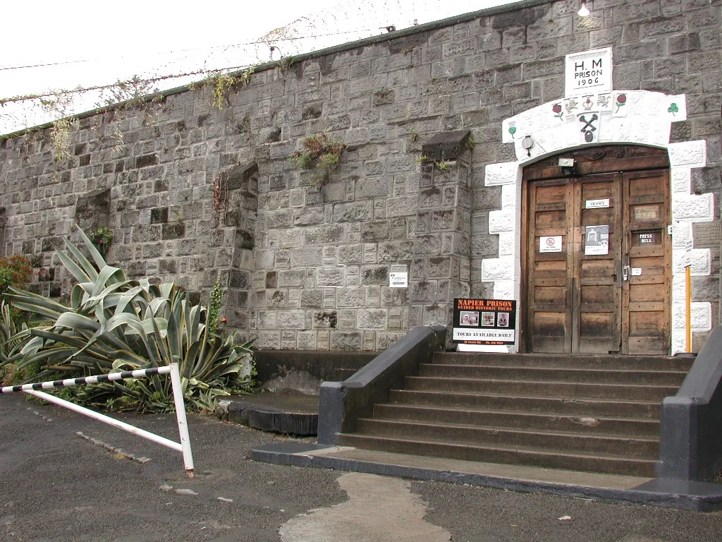
Napier Prison
1862
-
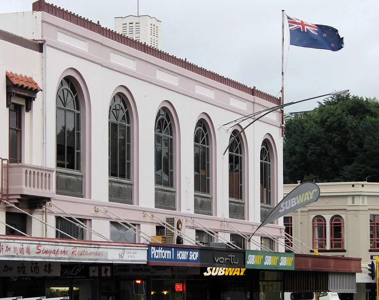
Market Reserve Building
1932
-
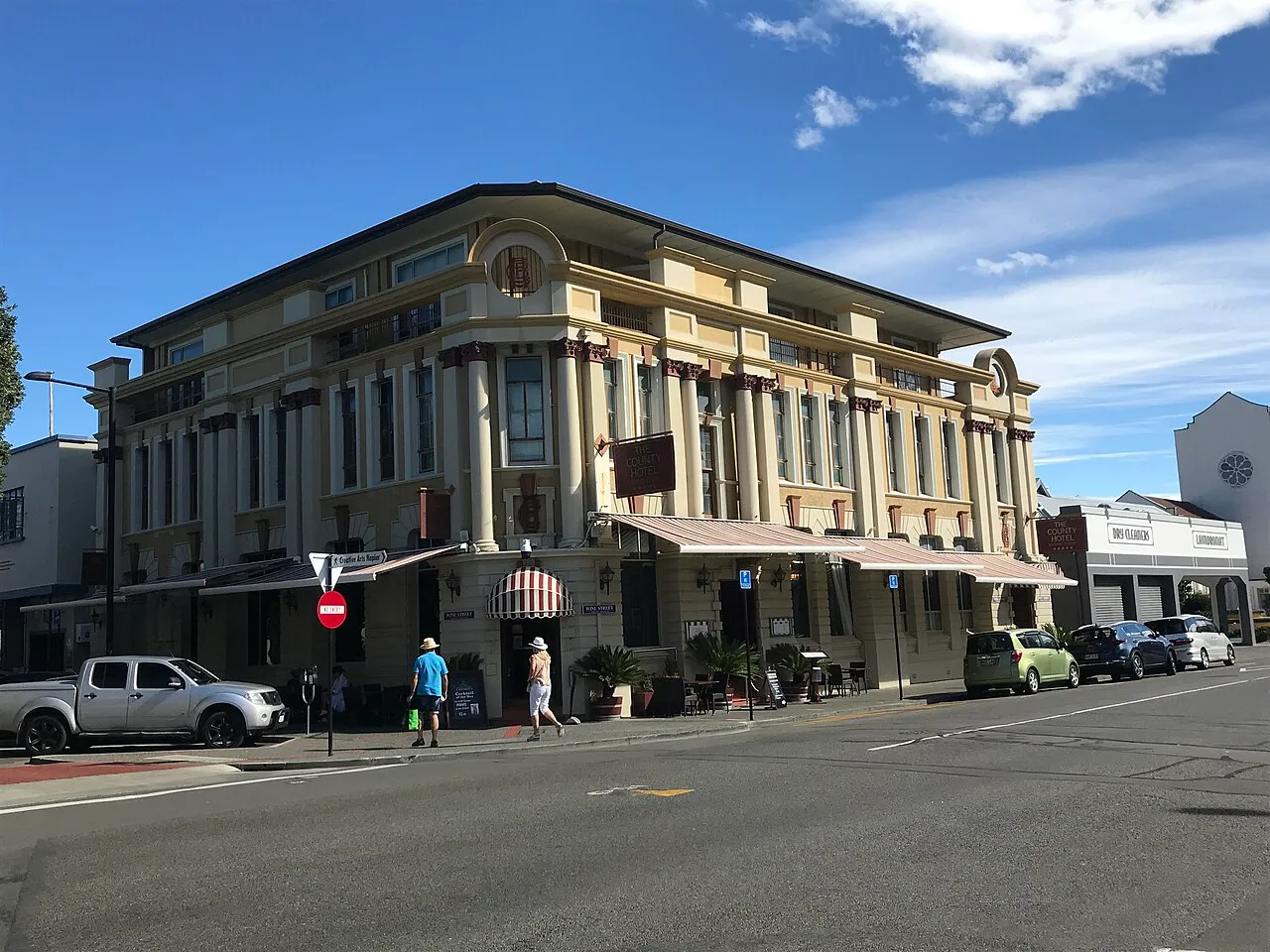
County Hotel
1932 · A. B. Hurst
-
Napier Fire Station
1934 · E. A. Williams
-
Napier Courthouse
1936 · E. A. Williams
-
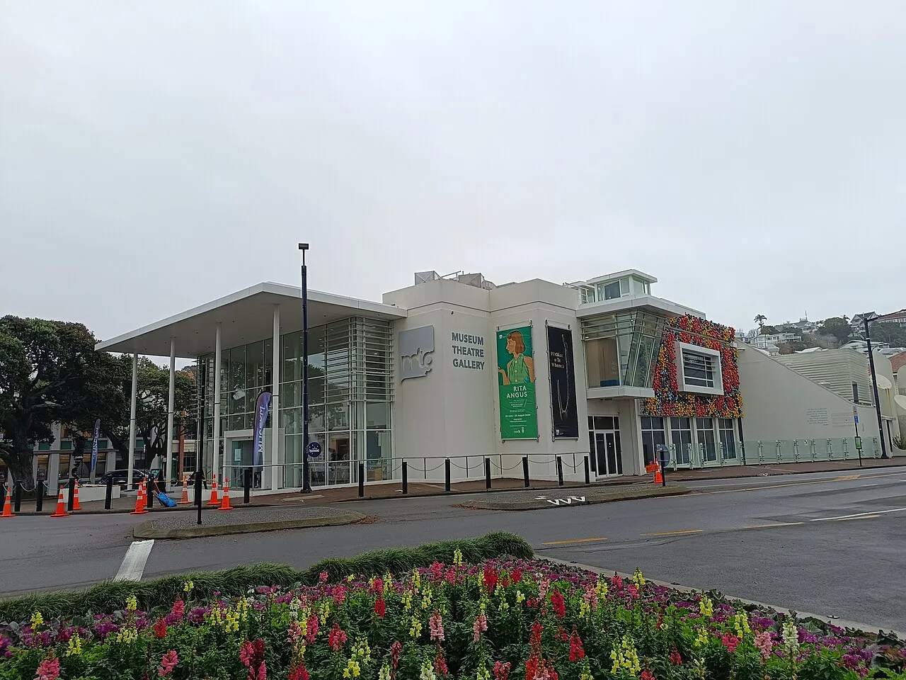
Hawke's Bay Museum and Art Gallery
1865
-
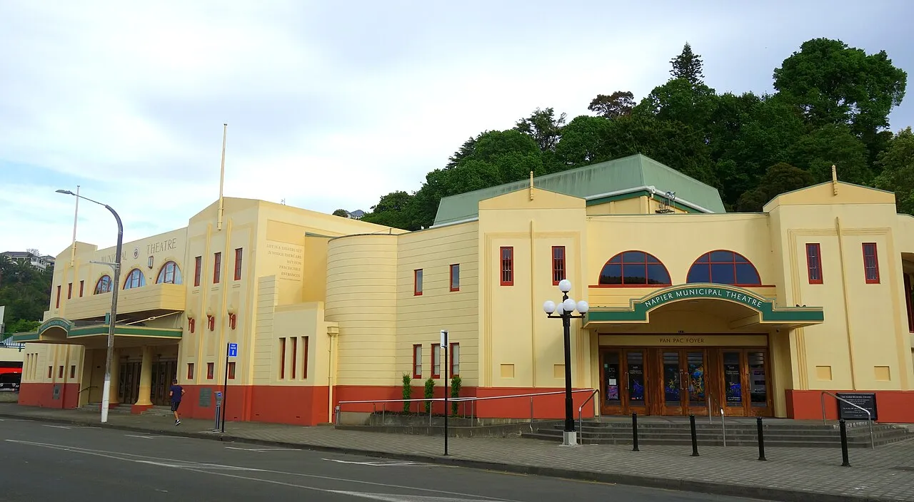
Napier Municipal Theatre
1938 · C. T. Natusch
-
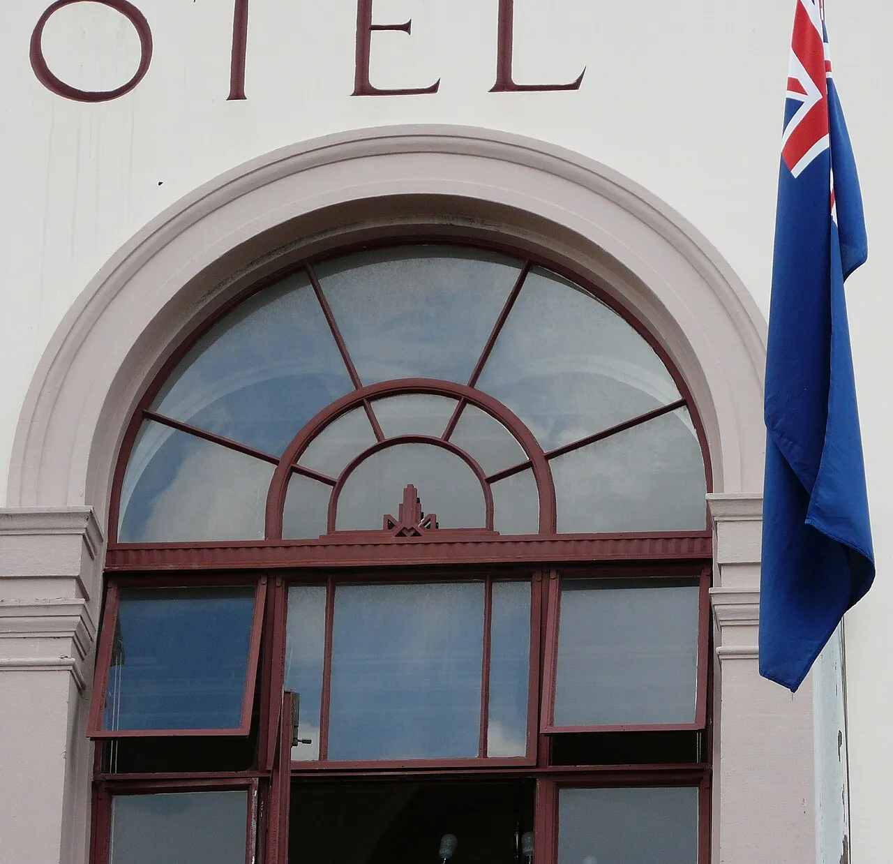
Criterion Hotel
1932 · C. T. Natusch
On the map
Keep exploring
Discover more places in Napier