


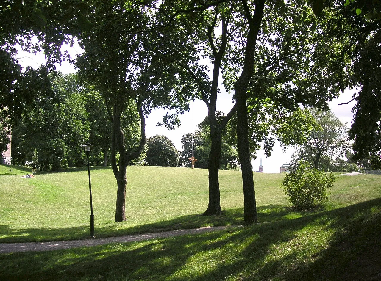
Vanadislunden
1903
landscape
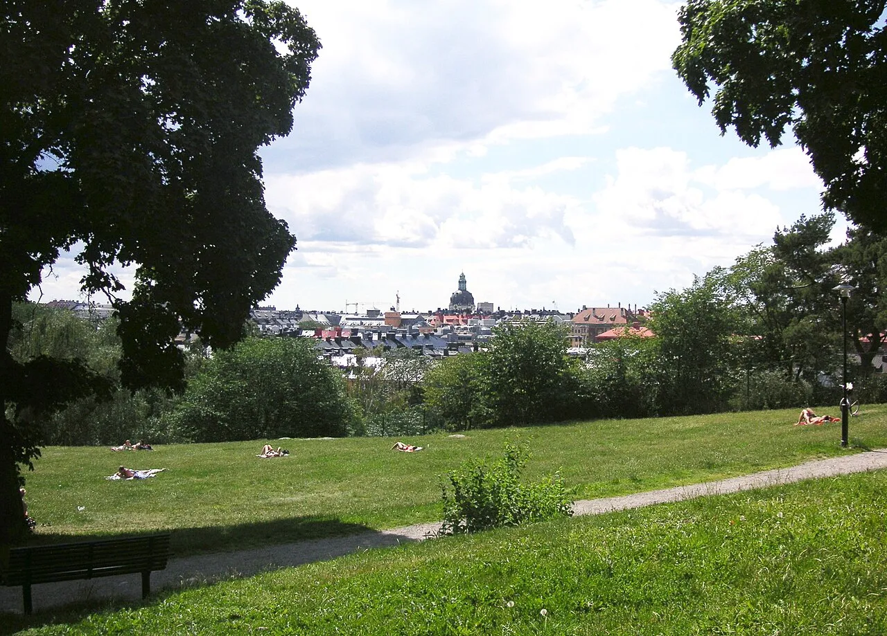
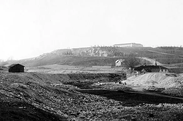
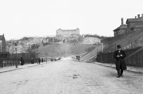
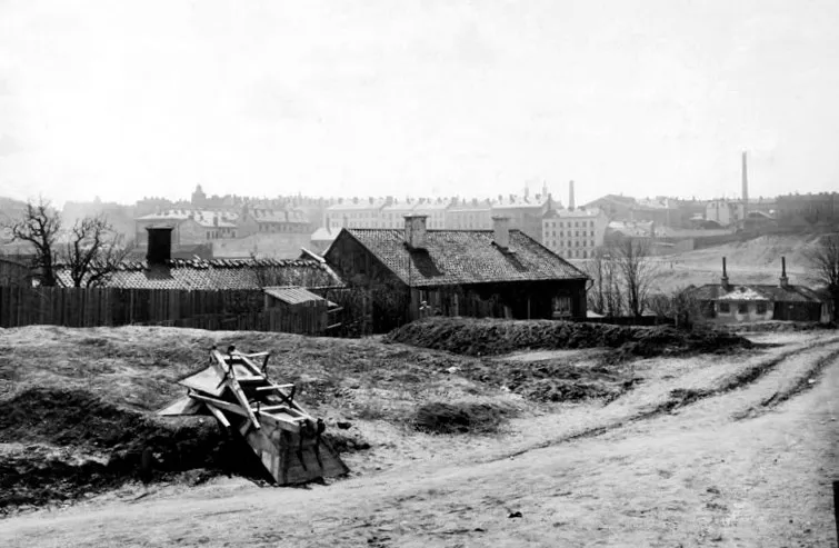
Vanadislunden is a nine-hectare hill park in Vasastaden where the Brunkeberg ridge cuts through inner Stockholm and rises to 43 meters above sea level. Work began in 1885 on what was then called Ormträskhöjden, in a district nicknamed…
Photos




Timeline
- 1913-1918
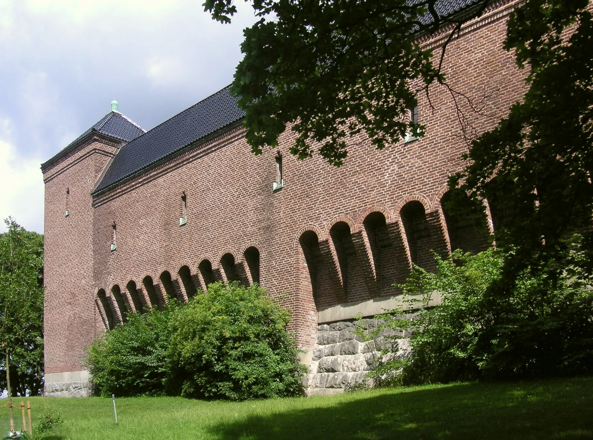
A second water reservoir was raised on the hilltop in 1913-1918 to drawings by Gustaf Améen, built over an 1879 basin that it replaced. Red Helsingborg brick sits on a granite plinth under black glazed roof tiles, and four corner towers…
Gustaf Améen
More like this
Selections Vanadislunden belongs to








More in Stockholm
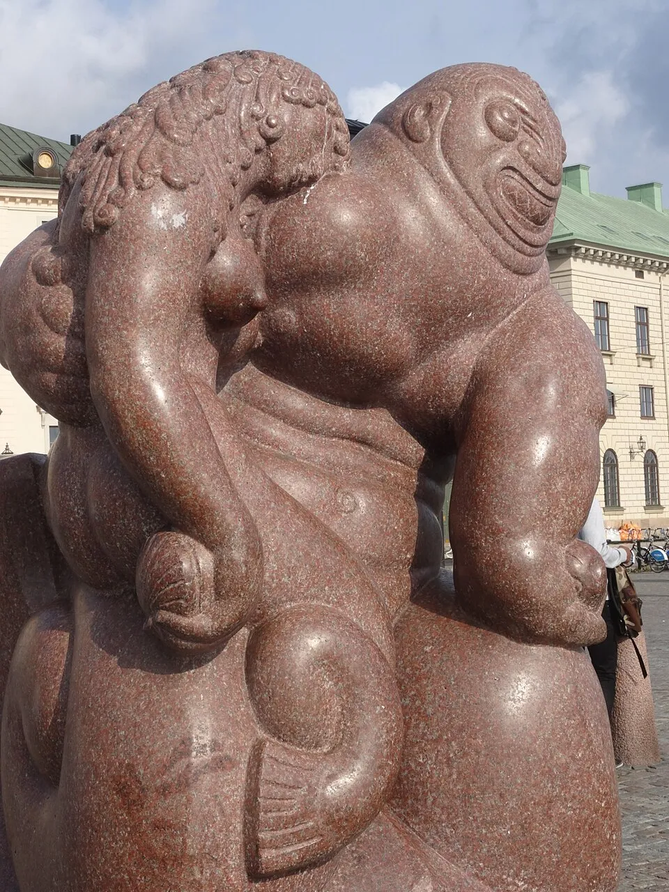
Sjöguden
1913 · Carl Milles
Dianafontänen
1928 · Carl Milles
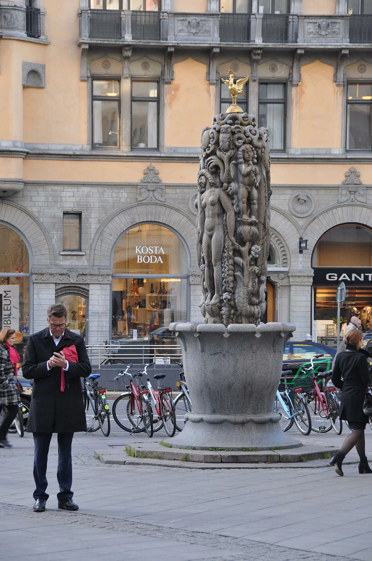
Eldhs fontän
1921 · Carl Eldh

3Arena
2010 · White Arkitekter
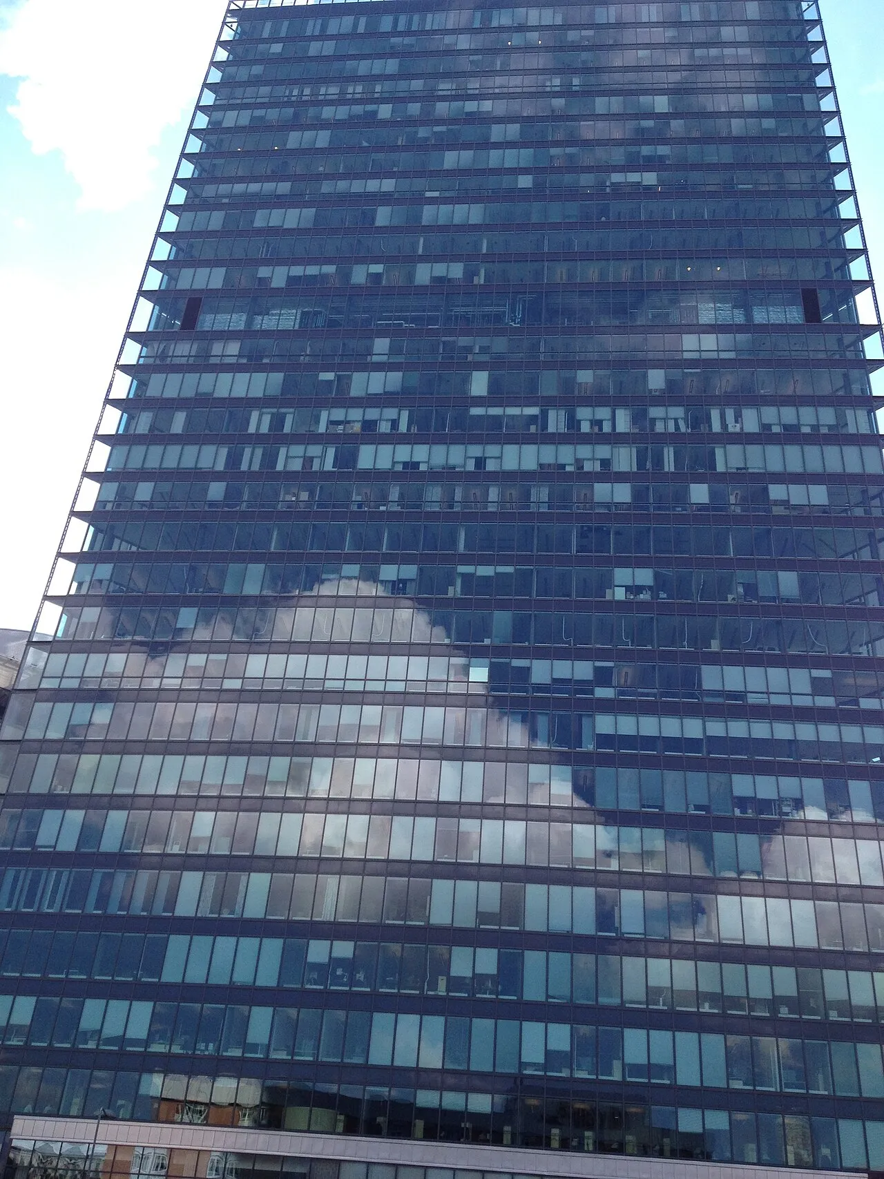
Kista Science Tower
2002 · White Arkitekter
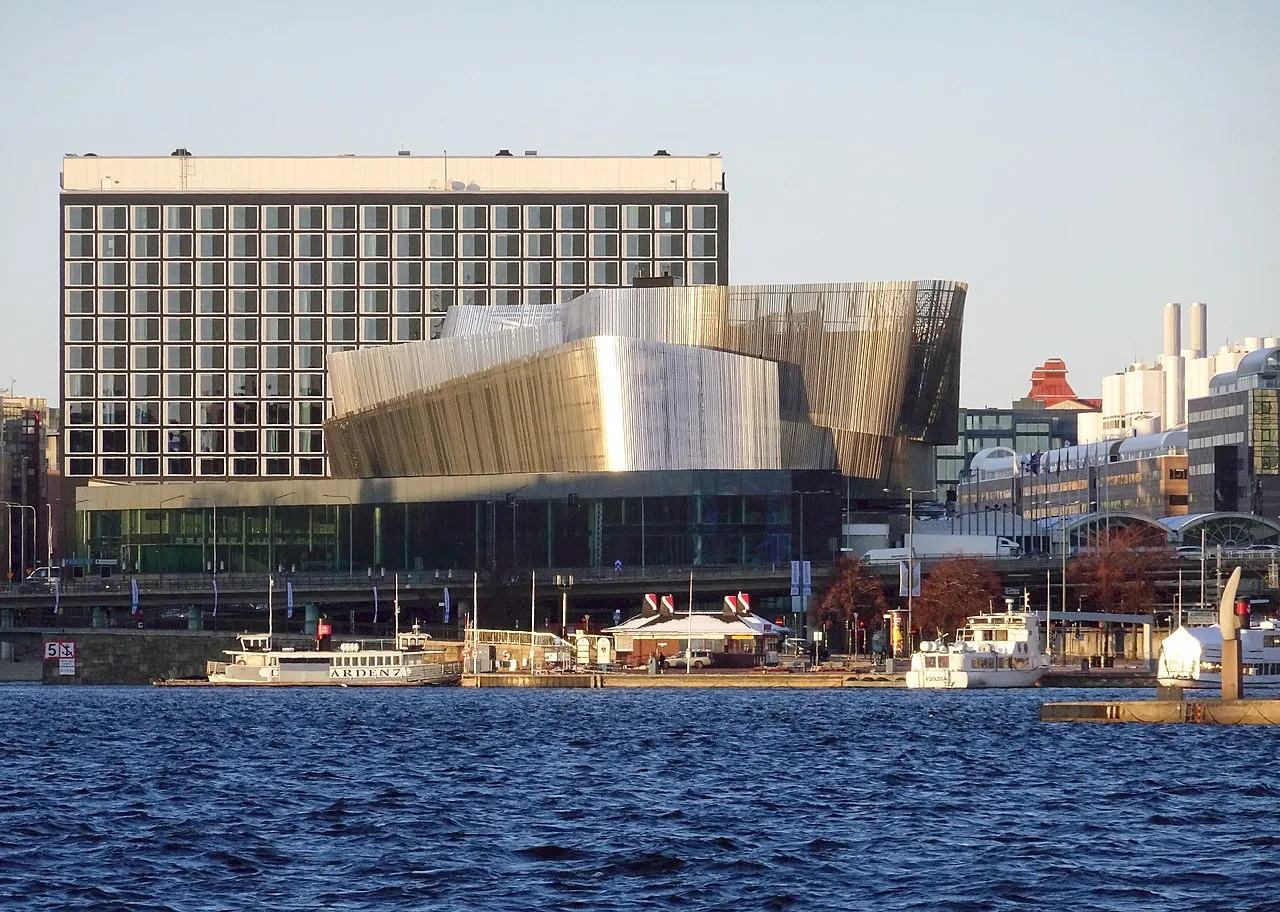
Stockholm Waterfront
2010 · White Arkitekter
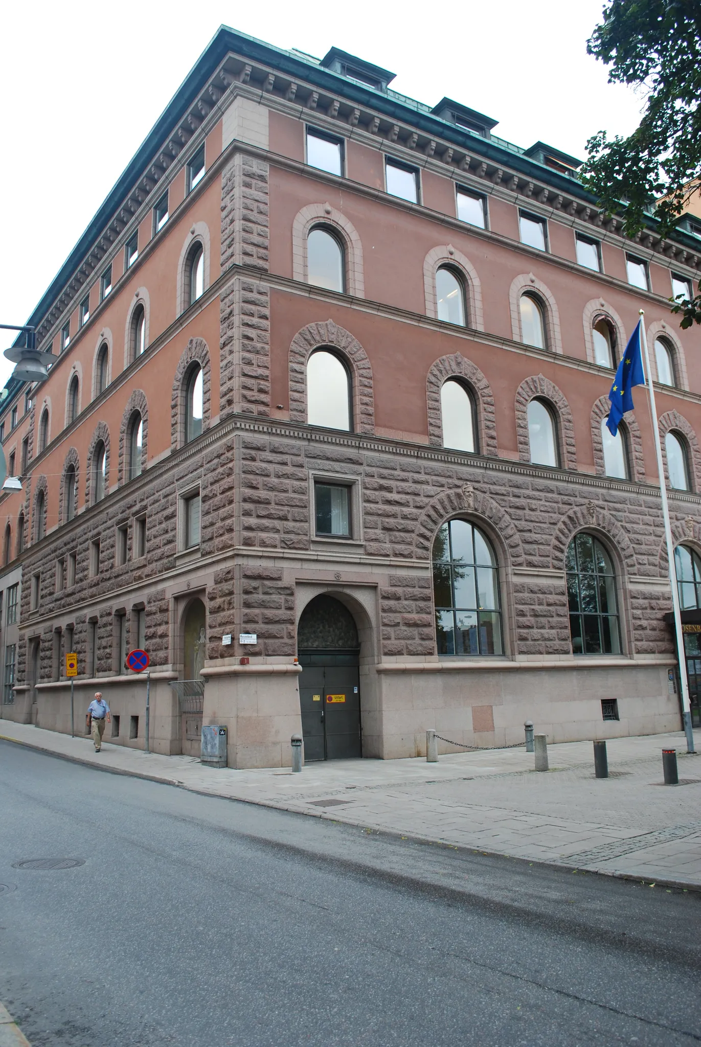
Rosenbad
1902 · Ferdinand Boberg
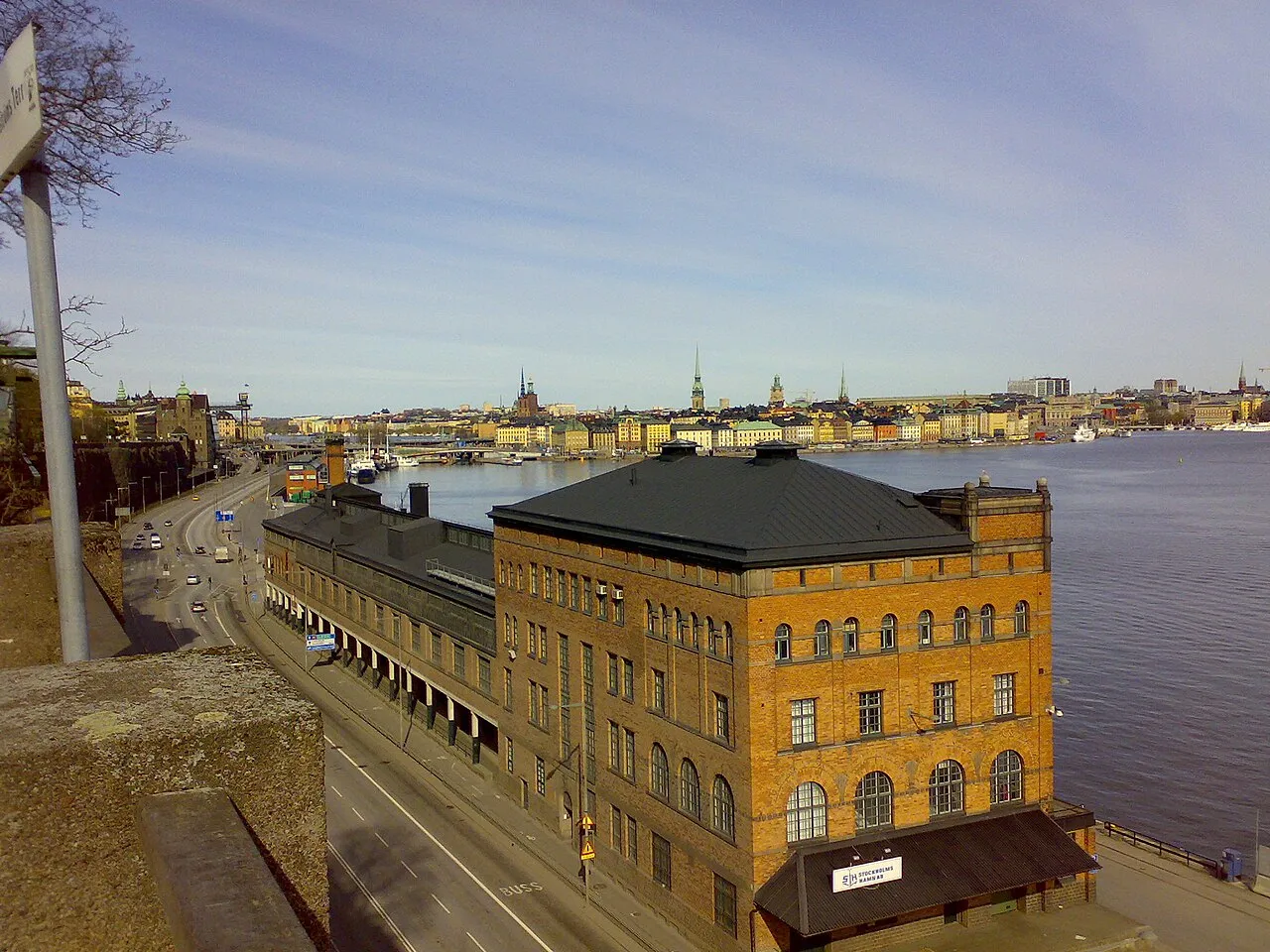
Stora Tullhuset
1910 · Ferdinand Boberg
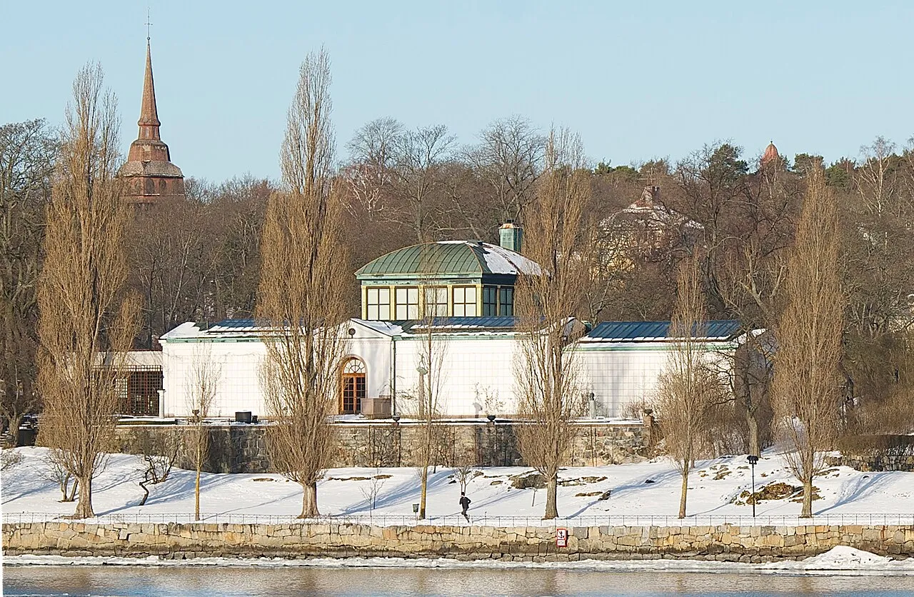
Prins Eugens Waldemarsudde
1905 · Ferdinand Boberg
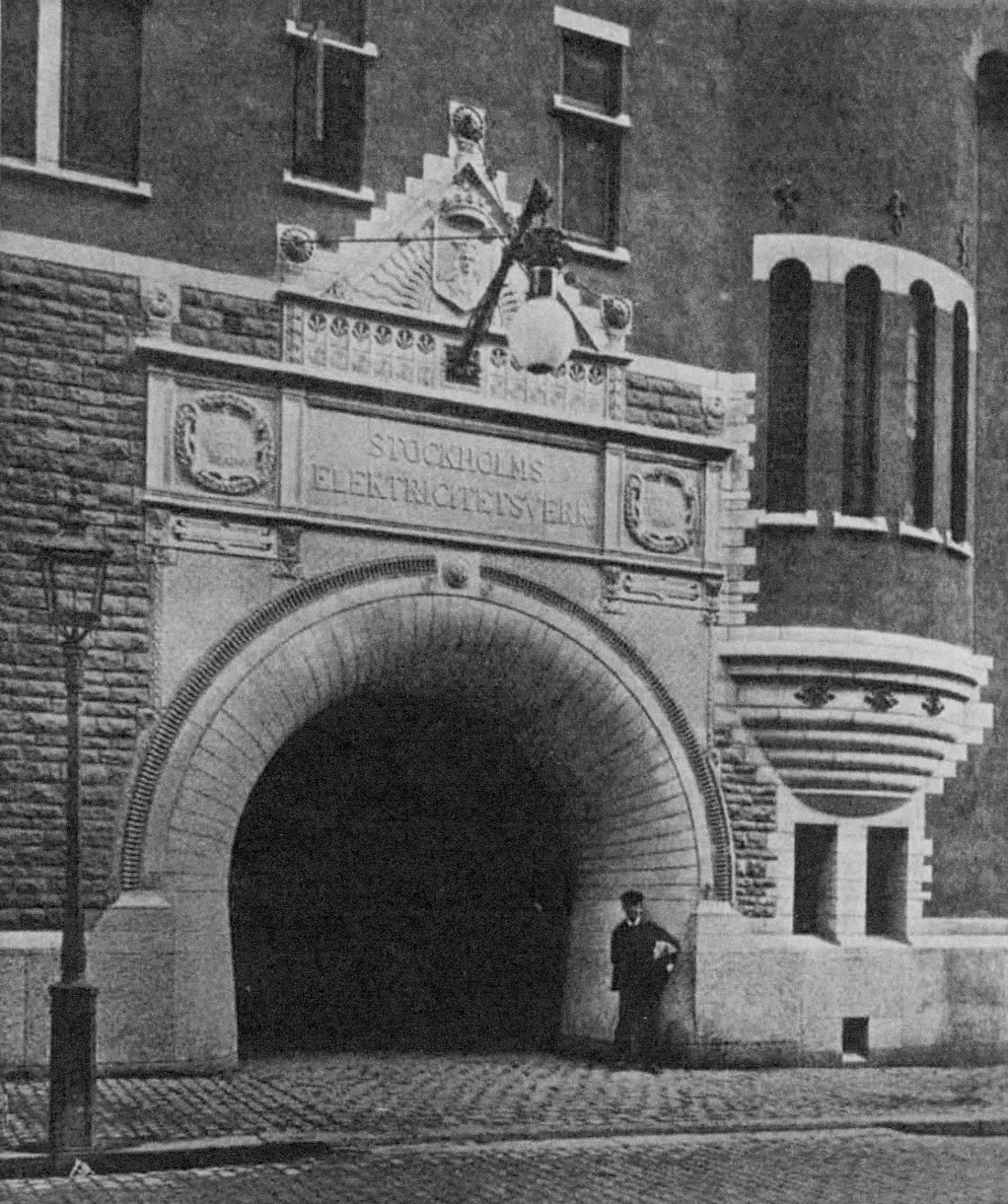
Brunkebergsverket
1892 · Ferdinand Boberg
Ericsson Kista
2010 · Wingårdh arkitektkontor
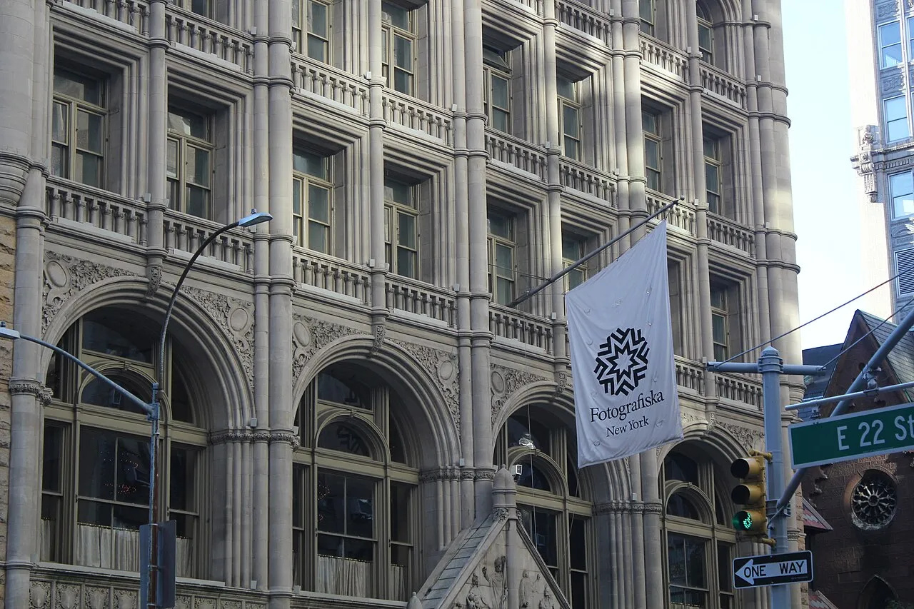
Fotografiska
1910 · Ferdinand Boberg


Image credits
- Holger.Ellgaard · CC BY-SA 3.0
- Larssons Ateljé. · Public domain
- Salin, Kasper (1856-1919). · Public domain
- Larssons ateljé · Public domain
Keep exploring
Discover more places in Stockholm