

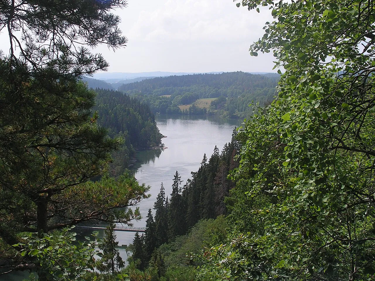
Trollhätte Canal
Also known as Trollhättans kanal, Trollhätte kanal, Trollhätte kanal- och slussområde
1800
landscape
The Trollhätte Canal is 82 km long, albeit only 10 km of it is manmade, the rest of its watercourse it was laid out through the riverbed of the Göta Älv river. The highest point of the Trollhätte Canal is at the Lake Vänern - 44.10 m a.s.l. …
More in Trollhättan
-
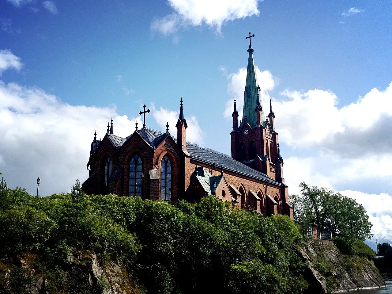
Trollhättans kyrka
1862 · Adolf W. Edelsvärd
-
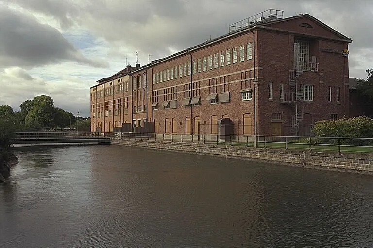
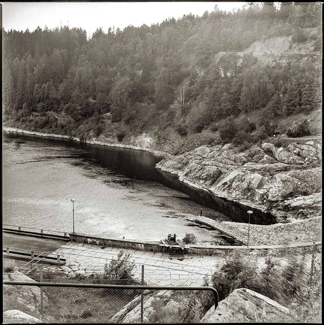
Olidan Hydroelectric Power Station
1910 · Erik Josephson
-
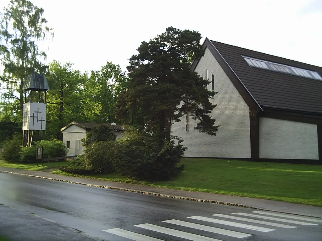
Skogshöjdens kyrka
1990 · P.O. Wallner
-
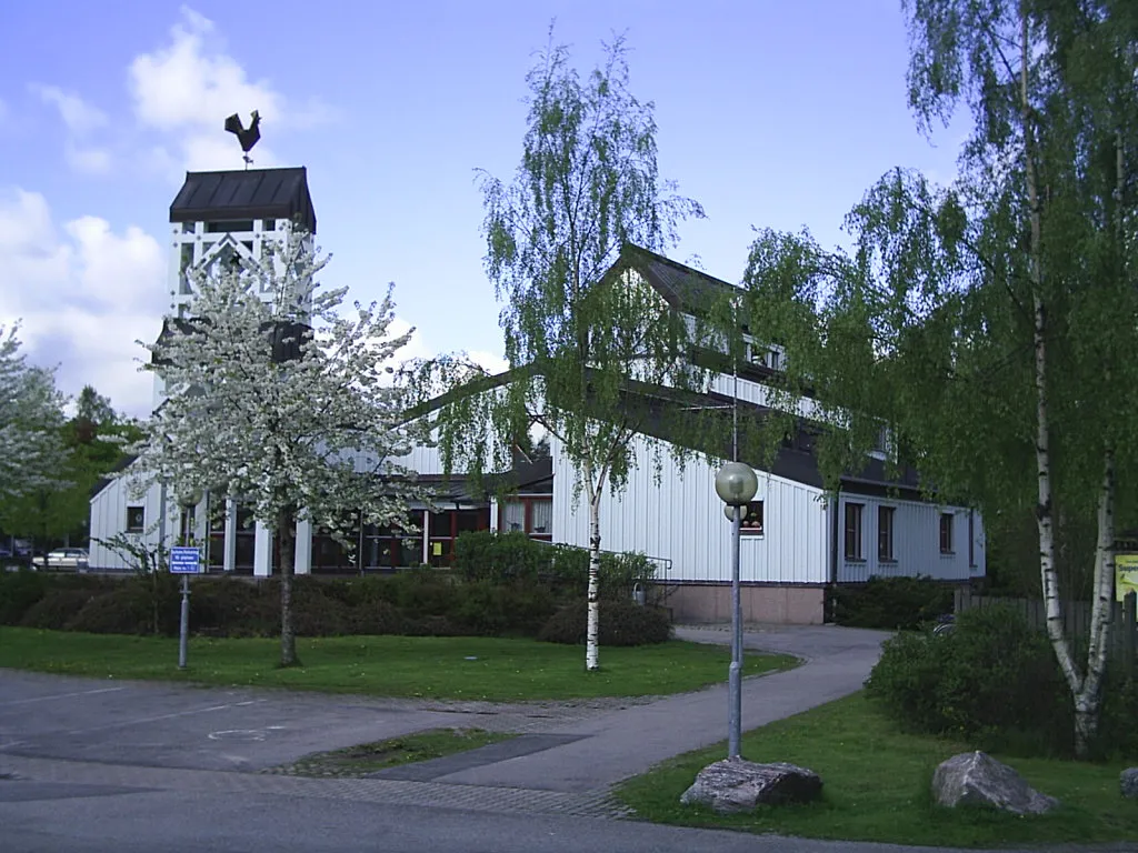
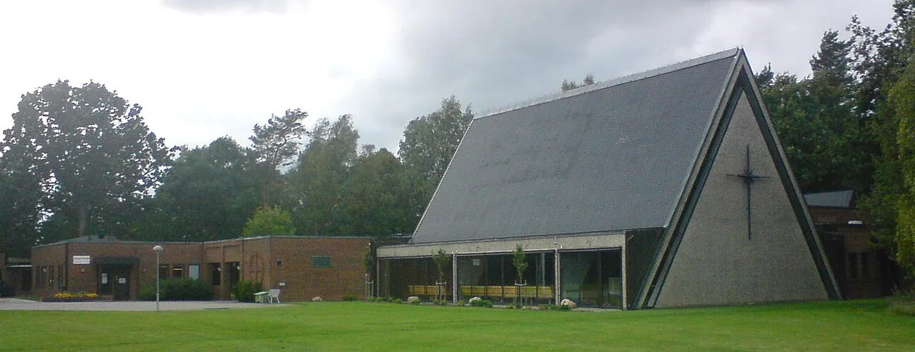
Götalundens kyrka
1958 · Leif Wijkmark
-
Hojums kraftverk
1941 · Erik Hahr
-
Lextorpskyrkan
1973 · Karl-Erik Ydeskog
-
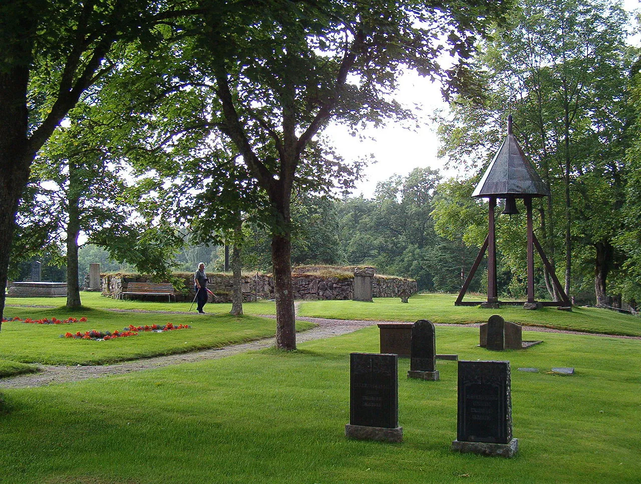
Lagmansereds kyrkoruin
1631
-
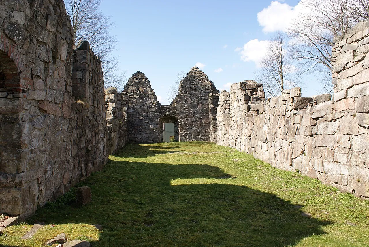
Gärdhems kyrkoruin
1100
On the map
Keep exploring
Discover more places in Trollhättan