


Sidi Bou Saïd
1700
Vernacular
landscape
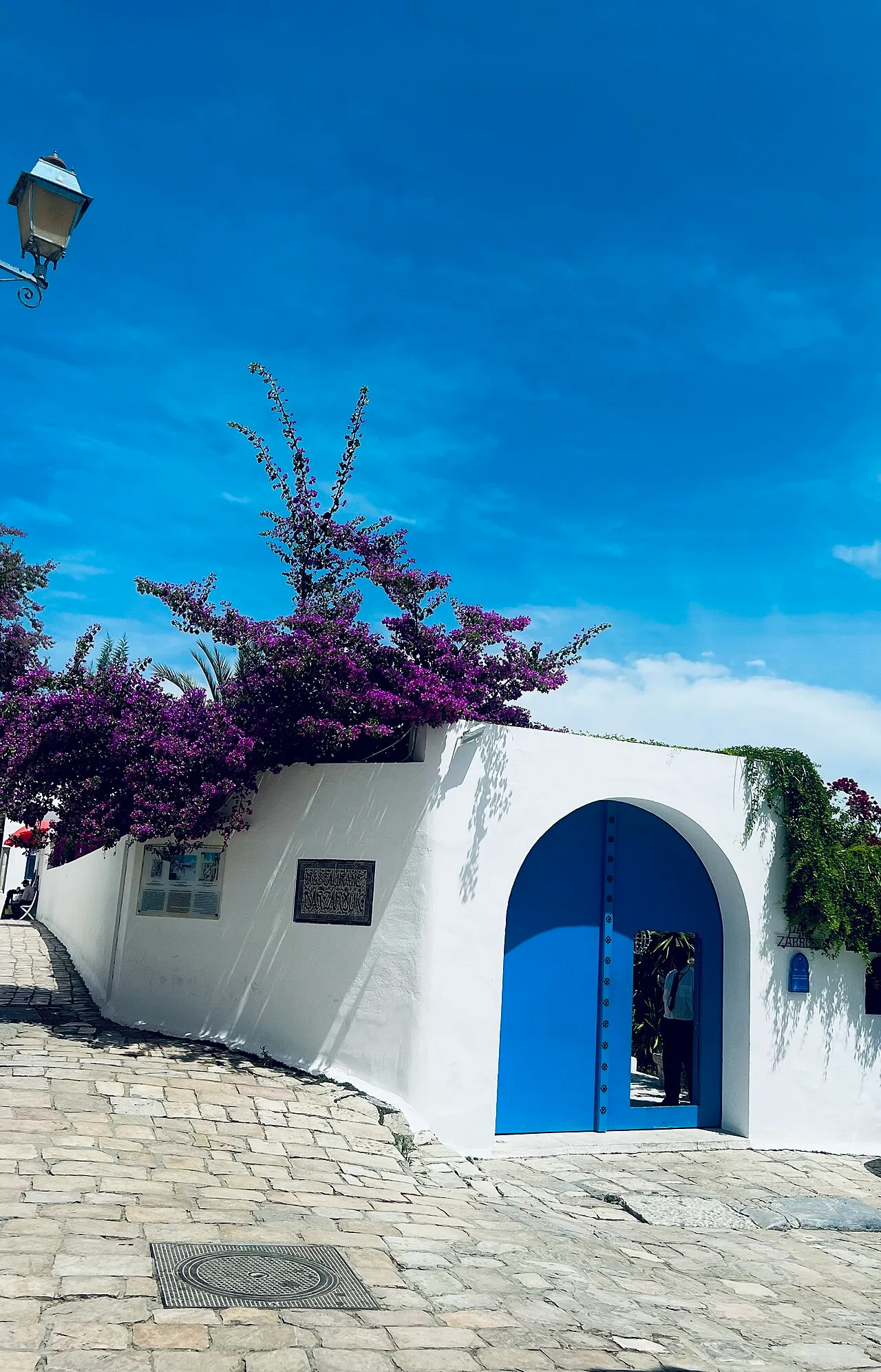
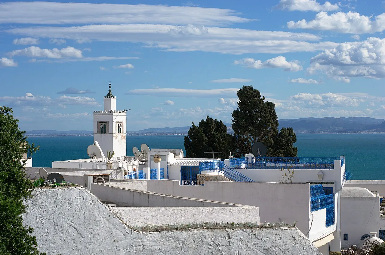
Sidi Bou Saïd is the hilltop coastal village on Djebel El Manar above the Bay of Tunis, taking its name from the thirteenth-century Sufi figure Abu Saïd Khalaf Ibn Yahya El Tamimi El Beji, who used the promontory for meditation and…
Photos

Timeline
- 1200-1299
Abu Saïd Khalaf Ibn Yahya El Tamimi El Beji used the promontory for meditation, prayer, and teaching, and a mausoleum was later erected in his name to fix the site as a Sufi anchor.
- 1912-1922
Baron Rodolphe d'Erlanger's Ennejma Ezzahra palace was built at Sidi Bou Saïd and forms one documented component of the conservation ensemble.
- 1915
A beylical text was issued specifically to safeguard the village's architectural and cultural character, giving the present conservation regime its legal foundation.
- 1978
A management plan prepared by the District of Tunis set controls for development, land use, and circulation.
More like this
Selections Sidi Bou Saïd belongs to




Image credits
Keep exploring
Discover more places in Tunisia